Teaching
Big Geospatial Data
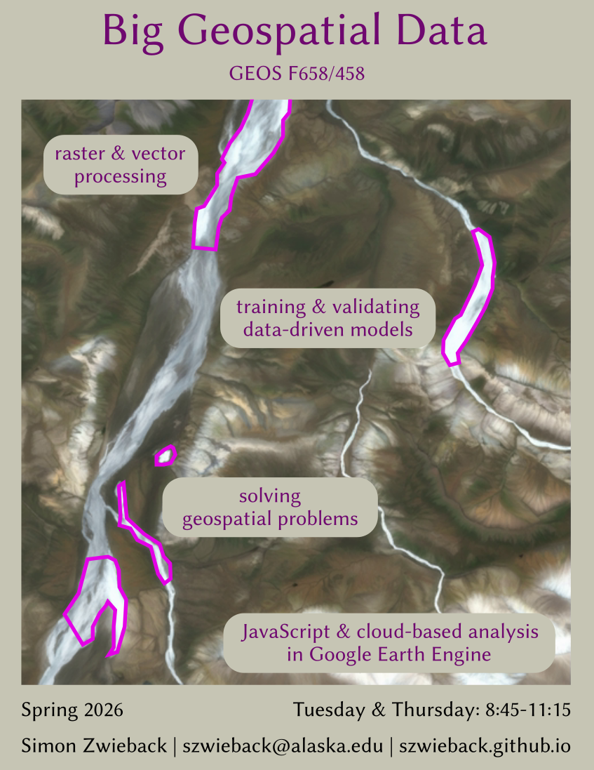 | Analysis of large geospatial data sets and data-driven modeling for solving geoscientific problems. The class combines cloud-based processing of big vector and raster data sets with predictive modeling using data science techniques such as Random Forests. |
Spring 2026
Introduction to Earth System Science
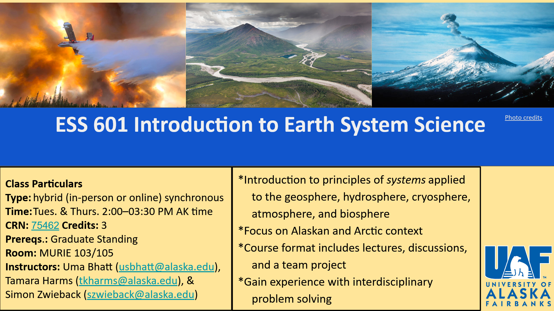 | Introduction to principles of systems applied to the geosphere, hydrosphere, cryosphere, atmosphere, and biosphere. Co-taught with Uma Bhatt. |
Fall 2025
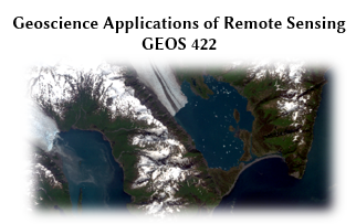
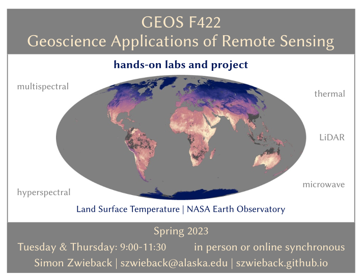
Geoscience Applications of Remote Sensing
Spring 2025
Introduction to Earth System Science
 | Introduction to principles of systems applied to the geosphere, hydrosphere, cryosphere, atmosphere, and biosphere. Co-taught with Uma Bhatt. |
Fall 2024
Visible and Infrared Remote Sensing
Spring 2024
Big Geospatial Data
 | Analysis of large geospatial data sets and data-driven modeling for solving geoscientific problems. The class intertwines i) cloud-based processing of big vector and raster data sets from GPS surveys, models and remote sensing, and ii) predictive modeling using data science techniques such as Random Forests. |
Fall 2023
Introduction to Earth System Science
 | Introduction to principles of systems applied to the geosphere, hydrosphere, cryosphere, atmosphere, and biosphere. Co-taught with Tamara Harms and Uma Bhatt. |
Fall 2023
Geoscience Applications of Remote Sensing
Spring 2023
Digital Image Processing in the Geosceinces
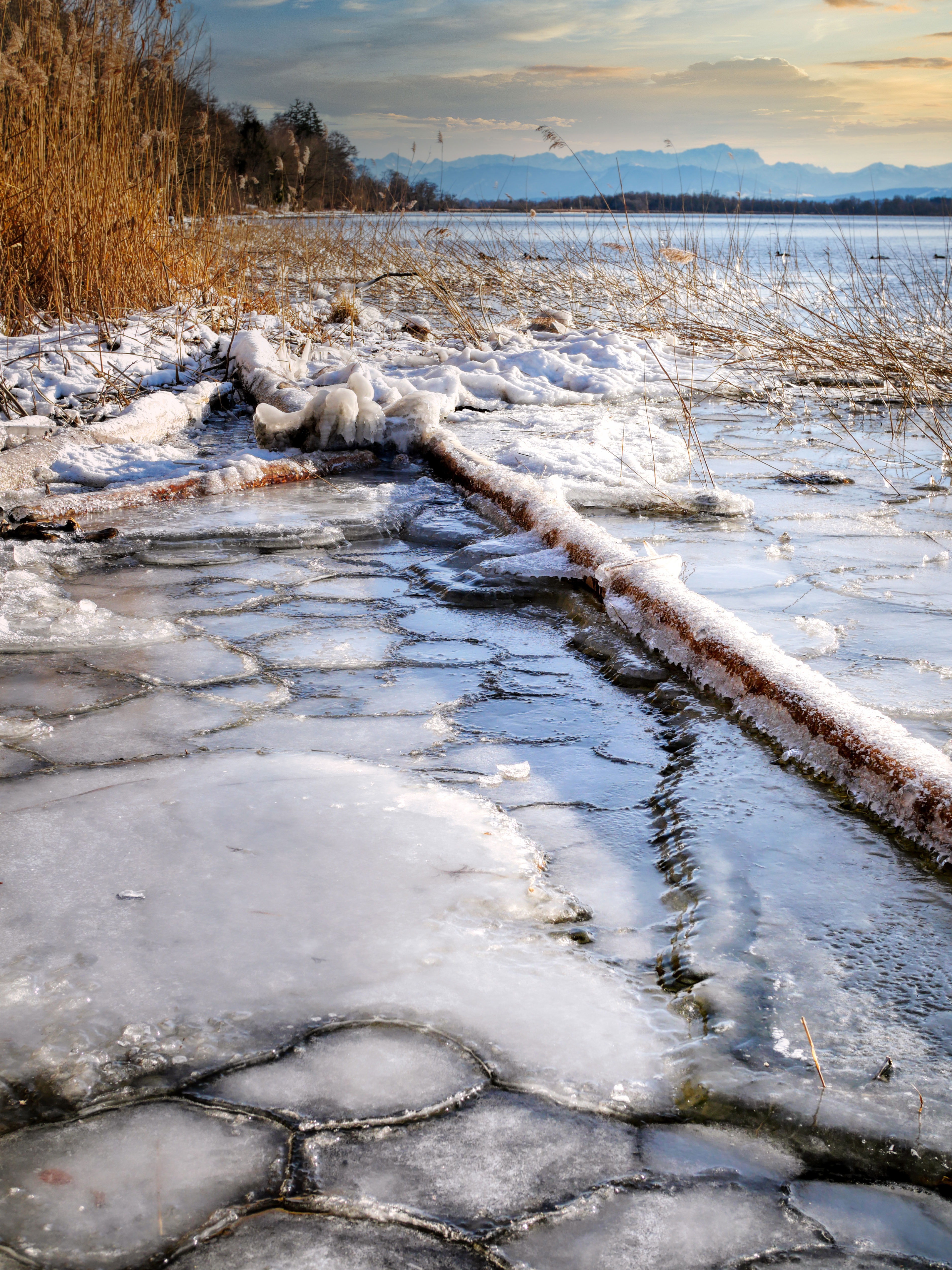 | Image processing and analysis techniques to monitor and understand the Earth system. Geoscience applications to be addressed include thin-section analysis, remote sensing of geohazards and geomorphometry. Apart from lectures and demonstrations, the advantages and drawbacks of image processing techniques will be evaluated through exercises and a course project. |
Fall 2022
Visible and Infrared Remote Sensing
Spring 2022
Geoscience Applications of Remote Sensing
Fall 2021
Digital Image Processing in the Geosciences
Spring 2021

